Overground walk 7:
FINCHLEY ROAD & FROGNAL walk to WILLESDEN JUNCTION
2 hours
The train line was opened in 1860 in order to provide a link between the Euston main line and the Docklands bypassing the congested Primrose Hill junction.
Routing note: This walk connects in Finchley Road & Frognal with Overground walk 6. It connects in Willesden Junction with Euston network walk 2 and with Overground walks 8 and 18.
FINCHLEY ROAD & FROGNAL
The station opened together with the train line in 1860.
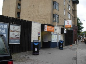
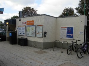
Like in Hampstead Heath, there is no actual station building, just a small brick shed housing the vending machines and the access gates.
Exit the station and turn R
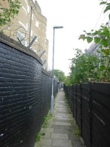
R again Billy Fury Way (narrow footpath)
The footpath runs directly along the railway tracks. It passes the rear side of a large housing estate from the 1990s and you might notice the unusual undulation of the façade. It shows that some architects have learned from the mistakes of the 1960s and try to avoid boring straight alignments when there is enough room to do so.
The footpath ends opposite the station
WEST HAMPSTEAD
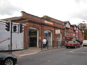
The station opened in 1888 on the existing train lane and was initially called West End Lane. The present name was chosen in 1975 to emphasize the vicinity of West Hampstead Thameslink station (on the main line from St. Pancras) and therefore the interchange opportunity although the connection implies walking on the street for about 100 yards.
This station is one of the few on the London Overground network to have a historical station building, probably because the station opened later than the original train line at a time when the train company had realised that the line attracted significant passenger traffic and not primarily freight as had been envisaged originally in 1860. The building is modest and functional with three low brick arches and little decoration.
L (southwards) West End Lane
The road passes the parish church of St John’s West Hampstead. I was not particularly impressed at the church building from outside but it is well worth a look inside if it is open. There is a good chance that it should be opened as the council and the parish agreed in 2014 to pay 600,000 £ to open a post office inside the church when Royal Mail decided to close the local post office. It makes you think about what a church building is for: only for prayer and recollection, or rather as a community meeting point as it was in the Middle Ages ? The fact that the post office is outsourced to the parish rather than to a newsagent or a grocer’s is not really shocking in my opinion as long as the parish does not misuse this for an evangelisation drive.
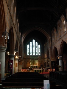
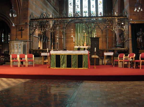
The church has a rather impressive interior in the very Victorian neo-gothic style. The cast iron screen in the choir is particularly ornate.
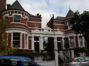
Just opposite the church on minor Sherriff Road, you might notice the ornate Edwardian portico marked West Hampstead Studios. The mix of medieval rounded towers with a Renaissance portico and the red-and-white colour combination are very Edwardian. I think the building was always a private house but there was also a photographer’s in the 1960s where the Beatles had pictures taken for an LP cover. The area was popular with artists and the major studios of music company Decca were only one street away.
Continue West End Lane southwards
R Hemstal Road
At a bend to the R, enter L Kilburn Grange Park
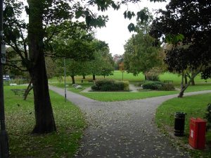
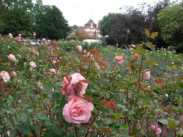
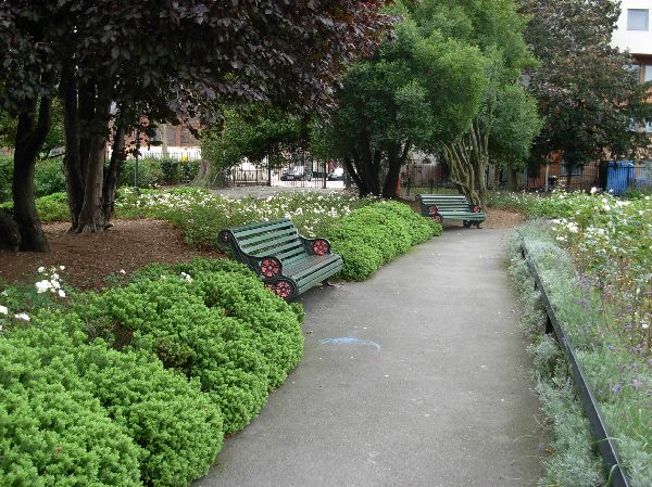
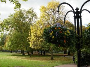
The park was landscaped by the local council in 1913 in the grounds of a demolished local mansion. It was a fully-fledged neighbourhood park with lawns, flower beds, a rose garden and a children’s playground. After being renovated at the end of the 1990s, it had again most of these features. The flower beds have been replaced by a lower-maintenance shrubbery garden, but there is again a rose garden with a lavender border and very nice seating.
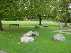
In line with common practice nowadays, a work of art was added, in this case large blocks of stone that look a little like the rests of a megalithic structure. Sort of a “Camden Stonehenge”.
Cross the park straight ahead to the exit at the NW corner
R Kilburn Road passing
BRONDESBURY
The station opened together with the train line in 1860 and was called rather cumbersomely “Edgeware Road (Kilburn)”. This was simplified to “Edgware Road” in 1865, extended to “Edgware Road and Brondesbury” in 1872 and changed immediately in 1873 to “Brondesbury (Edgware Road)” because of confusion with Edgware Road underground station. The present name is in use since 1883.
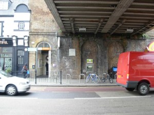
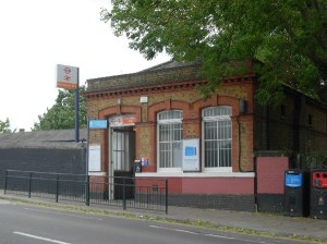
There is no station building, just a narrow door into the pillar of the railway bridge. This arrangement is similar to the one in Kentish Town West.
L Cavendish Road
Ahead The Avenue
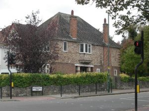
This area of London is mostly rather standard developments with pleasantly shaded streets but little to look at. There is one interesting house at the corner with Brondesbury Park. It has some neo-Tudor features such as the wooden beams enlivening the chimney shaft but the overall shape and the colour of the first floor bricks remind more of Arts & Crafts. That the Tudor decoration is just for fun is easy to see as the other chimney shaft does not have it (it would have disturbed the door lintel).
L Brondesbury Park (a road) passing
BRONDESBURY PARK
The station opened long after the train line itself in 1908 due to increasing real estate development in the area.
There is a nice little station building, a very Edwardian cottage with bricks in two colours and a cornice. The train company clearly expected to welcome middle class passengers at this station. You might notice the unfortunate painting mistake under the windows with part painted in rusty red and part in baby pink. I have no explanation, but the reason might be graffiti problems at two different points in time.
R Chevening Road
Detour L to visit Queens Park, come back afterwards to Chevening Road
The ground belonged to the Church and was used in 1879 for a popular agriculture show. This prompted the owner to offer the grounds to the borough in 1886 and an Act of Parliament confirmed this after the borough got confirmation that charitable funds would contribute to maintenance costs. The park opened in a rural area and attracted suburban development in the following years, the opposite (and more sensible) solution to the more frequent scramble by boroughs to save whatever they could from greedy speculators. The park owes its name to the Queen’s Jubilee while the original name was just Kilburn Recreation Ground.
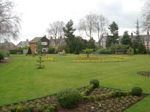
The park has a very special design that is a copy of the original 1887 concept (it had been destroyed during World War II and has been rebuilt in 1999). The alleys make a figure of 8 leaving room in the corners and in the center for embellishments. Like in most Victorian parks, there were also a bandstand, a refreshment chalet, sports grounds (called at the time “children’s gymnasium”), glasshouses and a large number of small formal flower beds. The glasshouses have disappeared along with the smaller flower beds, but there is now a “woodland walk”, taking advantage of mature trees in the NW corner of the park, and tennis courts.
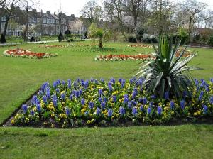
The flower beds are now concentrated in the SE corner where they build a beautiful display. This is typical for the borough of Brent, one of the few London boroughs that try to have beautiful formal gardens in many parks rather than in just a few flagship locations. The bandstand is from 1891 and is little used nowadays but is quite impressive.
At the end of the road
R Chamberlayne Road passing
KENSAL RISE
The station opened in 1873 as “Kensal Green” in order to replace a temporary station (“Kensal Green & Harlesden”) that had been built further west. The present name is in use since 1890 but the change was not due to confusion with the present Kensal Green underground station as that station only opened in 1916.
Like many stations on this train line, the building appeared to be a modest structure in whitewashed bricks of no architectural interest when I took my picture in 2009. More recent pictures show a nice Edwardian building with red and white bricks and a cornice with small columns. I can only suppose the building was hidden behind hoardings.
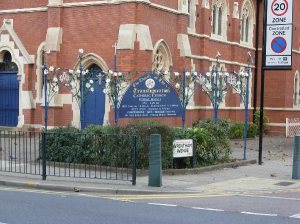
The large neo-gothic church near the station is Roman Catholic and you might therefore well be able to have a look inside, but it is not very spectacular. There were discussions recently at this church about the priest saying mass occasionally with his back to the congregation. This was customary until liturgical reforms in the 1960s and was meant to emphasise how grand the mystery of transfiguration and redemption is. It looks strange nowadays to have a priest turn his back to the congregation for part of the service but this is just because we are used to the other solution. I mention the church for the nice cast iron fence bearing the sign outside. It shows white lilies as they are the symbol of the Immaculate Conception and of the Holy Virgin.
L Trevelyan Gardens, continues as a short footpath
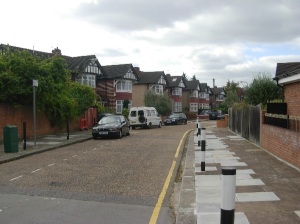
This area is a typical example of developments from the 1930s for the middle class. Large parts of the northwestern suburbs were built in this monotonous manner in order to accomodate the very quick growth of population in the capital of the Empire. The area was more or less flat and well served by public transportation, particularly by the Metropolitan line who had bought huge tracts of land and made most of its profits from real estate dealings with developers. Boroughs usually were unable to react in time and save well located plots for parks and schools.
R Chelmsford Square, turns R at the end of the sports grounds
L Phillimore Gardens
Ahead into Willesden Sports Grounds
This open space was originally called King Edward VII Recreation Ground because it was opened in 1909 at the time of the coronation of the king. The name was only changed recently for reasons I have not found out. I guess it is actually rather unusual to take away a royal name.
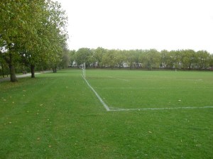
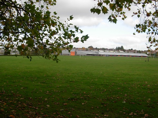
As the name says, it is a sports ground with no other attractions. A small effort has been made by planting a few lavender shrubs along a wall of the sports centre. The shape of the building is somewhat peculiar, reminding me of an aircraft hangar.
L inside the open space. The road along the southern edge of the grounds is Doyle Gardens. Exit the grounds at the middle gate.
Cross Doyle Gardens (the road)
Ahead Furness Road
L High Street Harlesden / Harrow Road across the first railway line
R Footpath between the railway tracks indicated as the access to
WILLESDEN JUNCTION
The original Willesden station was built further west in 1841 on the main line from Euston and remained in use until 1962. When the Overground line via West Hampstead opened in 1860, Willesden became a junction. An additional junction was added in 1863 towards Clapham Junction, also using Willesden. It was sensible to join the Hampstead line with the Clapham line, which was done in 1869 and provided a bypass line for freight services around central London. The present Willesden Junction station opened therefore in 1869 on the viaduct of this bypass line and was called for technical purposes “Willesden Junction High Level”.
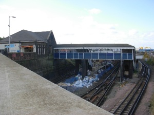
The station itself was rebuilt in 1956 and shared a common building with the Low Level station from then on. The Low Level station itself was rebuilt later on, so that the former common building can be considered now as the actual High Level station building. It is a functional brick house with a steeped roof and has no pretence to architectural interest, being mainly a functional interchange and much less a destination where a landmark building would make sense.

